
QGIS Plugin & AI Vectorisation
Manual digitising eats up hours that should go into analysis, delivery and client decisions. One dense settlement can turn a simple mapping job into a long night of clicking vertices.
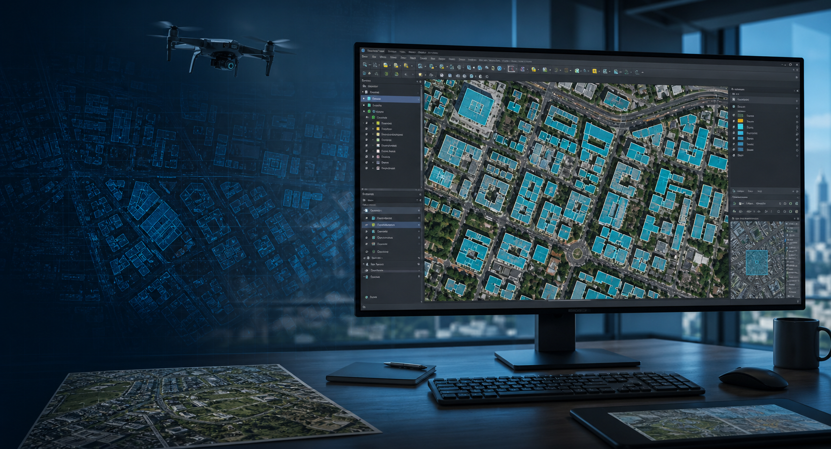
The FieldWatch QGIS plugin brings AI-powered building-footprint extraction into the GIS software your team already uses, so you move from imagery to editable vector layers faster.
Drawing every roofline by hand slows delivery and makes large mapping jobs hard to price confidently.
Different operators trace the same imagery differently, creating cleanup work before files are client-ready.
Exporting imagery to separate tools breaks concentration and adds extra steps before results return to QGIS.
Practical outcomes, not promises — here's what changes for your team.
Run AI vectorisation from inside QGIS instead of moving between separate web tools and desktop software.
Turn aerial or satellite imagery into editable building polygons you can review, refine and export.
Use the same plugin surface for imagery edits, solar planning and ordering recent drone imagery when your base map is out of date.
Process
Install the FieldWatch Vectorizer plugin in QGIS
Select your imagery layer and draw the area to process
Review the extracted vectors and export them for your project
Use the step-by-step QGIS plugin guide to install FieldWatch Vectorizer, activate your license key and merge exported vector layers.
Start your free FieldWatch trial, sign up or sign in, then generate the key you need to activate the QGIS plugin from your account.
Create a free FieldWatch account, sign in, and generate your QGIS plugin key from the platform. If you get stuck, reach out and we will help you get activated.
Start with a free trial. No credit card required to create your account and generate your plugin key.
Not ready for a call?
Get our AI vectorisation and QGIS workflow tips straight to your inbox.