
Aerial Site Measurement & Inspection
Getting the numbers off a site costs you a day, a vehicle and a technician — and you still re-measure when the figures don't reconcile against the quote.
FieldScope puts georeferenced aerial imagery in your browser. Measure areas, log geotagged photos and run defect detection over drone frames, all against the same image. Solar sizing included.
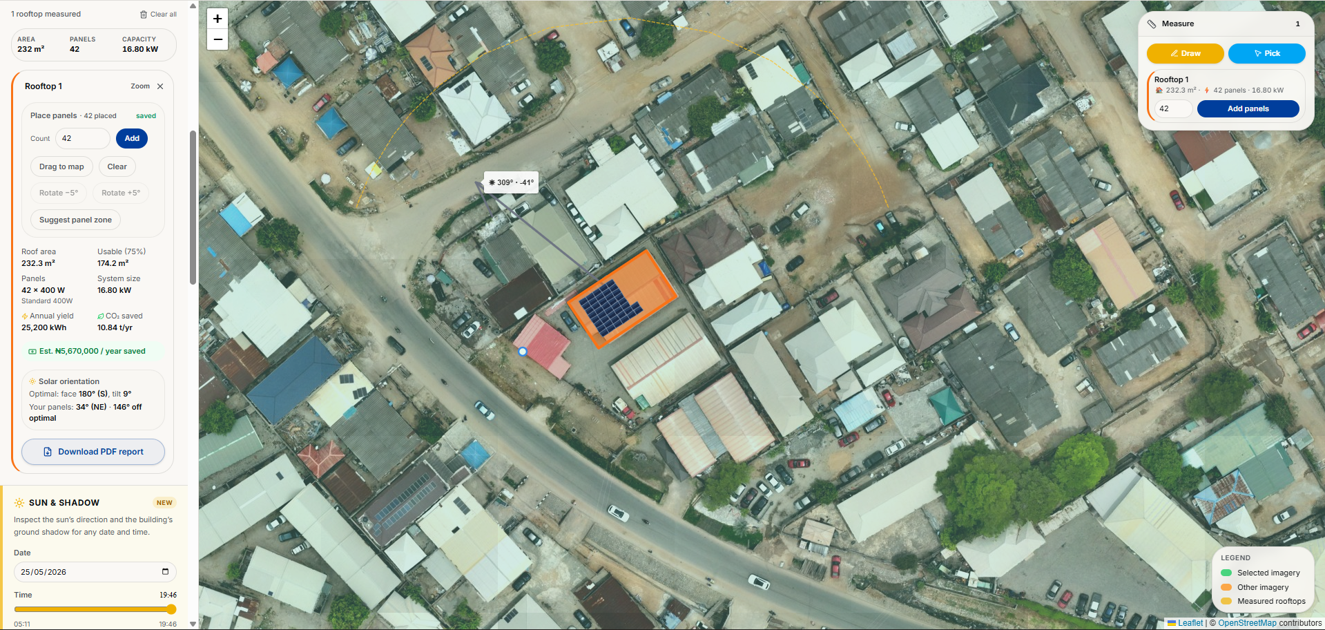
Every measurement means travel, site access arrangements and a technician on the ground.
Hand measurements vary between surveyors, and clients notice when the quoted figure moves.
Drone captures sit unopened in folders because nothing in the office can measure against them.
Practical outcomes, not promises — here's what changes for your team.
Draw an outline or pick a building footprint, and read back area, usable area and orientation without a second site visit.
Drop a photo at the point it was taken, tag its condition, and clear it through a confirm-or-dismiss review queue.
Run powerline and distribution assets through automatic defect detection — twelve defect types ranked critical, major and minor, exported one row per finding.
Buy recent aerial coverage of a property, or order a fresh capture by the square kilometre, and it loads straight into your workspace.
Process
Load your own georeferenced imagery, or buy coverage of the site
Measure, photograph or analyse what you need
Export the measurements, findings and estimates
Inside FieldScope
One browser window over your own imagery: measurements, site photos and findings against the same image. FieldScope is the single-user workspace — organisations get the same imagery under their network in GridMapper.
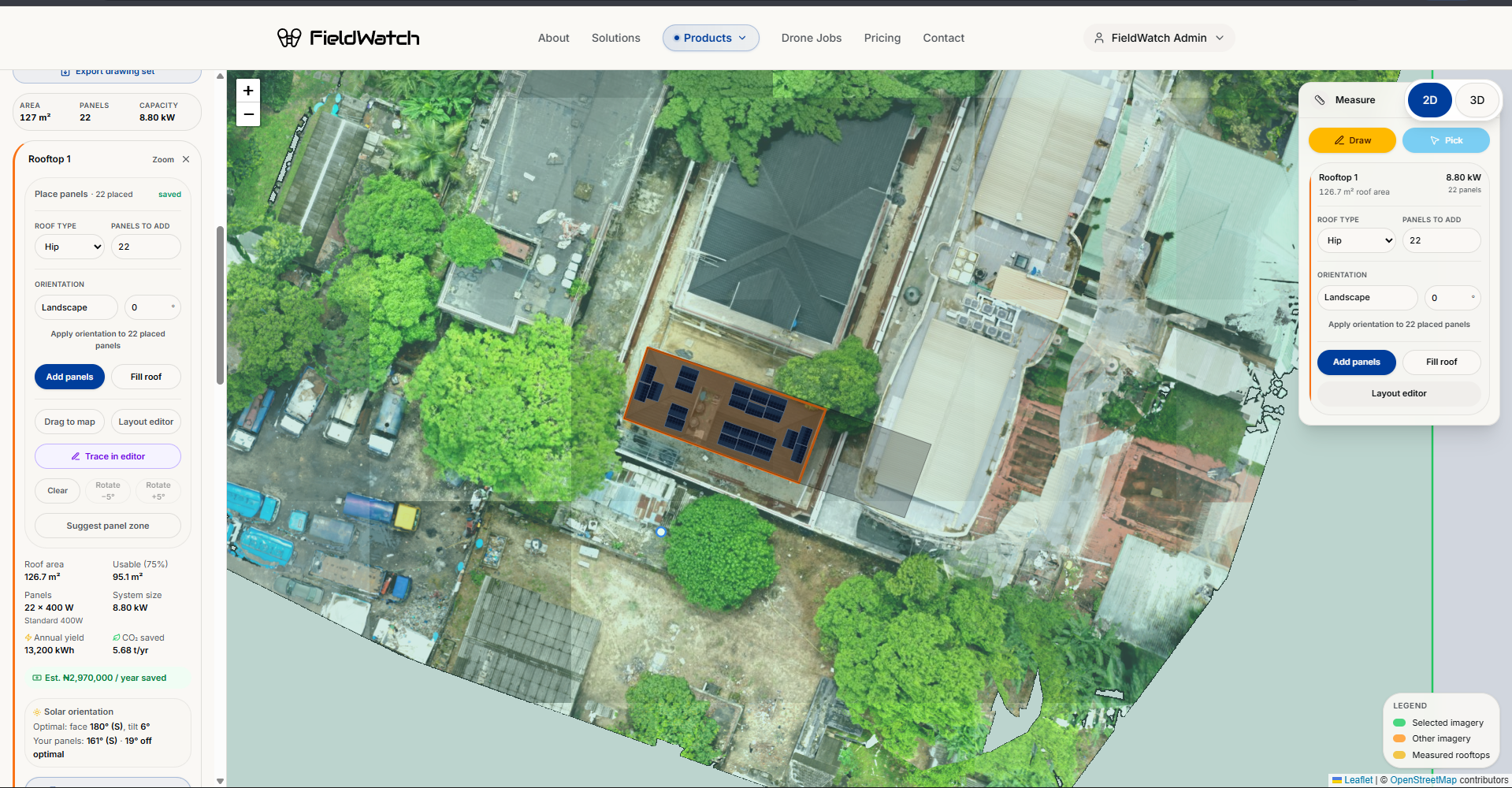
Draw an outline or pick a footprint, and read back area, usable area and orientation.
Geotagged site photos and analysed drone frames sit at the point they were captured, not in a folder.
Panel count, system size, annual yield and CO2 saved update with every rooftop you measure.
If you don't have aerial coverage of the site, we can capture it. FieldWatch deploys drone teams, processes the imagery, and loads it straight into your FieldScope workspace.
Every rooftop you measure still returns a solar yield estimate with sun and shadow overlay, and panel layout, system sizing and GA drawings come with it.
Talk to a FieldWatch expert about cutting site visits out of your survey and inspection process, no obligation.
Book within 24 hours and get 15% off your first project.
Not ready for a call?
Get aerial measurement and inspection tips straight to your inbox.