Agriculture & Plantation Management
When you cannot see every corner of your farm, you only discover damage when it is already too late. This means you end up missing problems with your plants or livestock and losing profits that you could have easily saved.
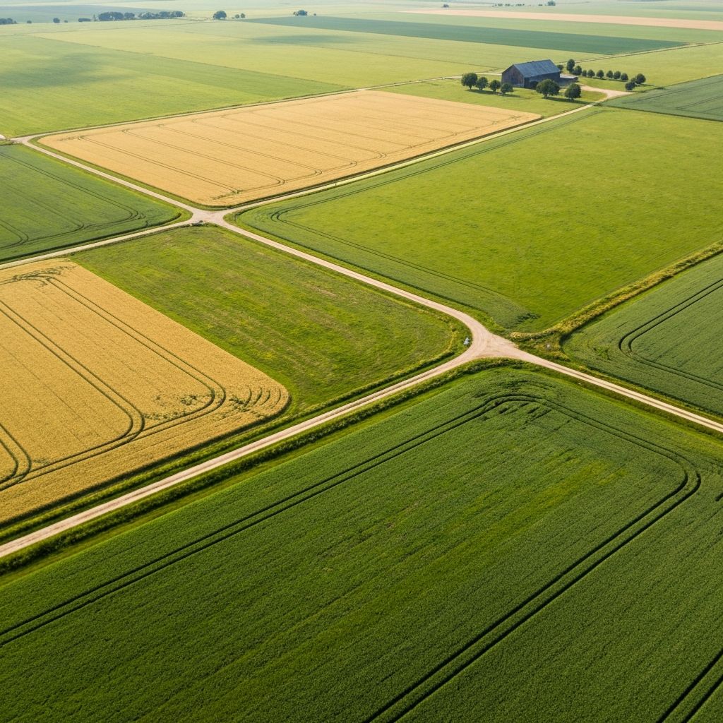
FieldWatch takes high-resolution aerial pictures of your land and sends them straight to your computer or phone screen. You can spot trouble instantly, send your team exactly where they are needed, and protect your money before you lose your yield.
Pest outbreaks, disease and water stress often go unnoticed until significant damage has already been done.
Applying water, fertilizer or pesticides uniformly increases costs by treating healthy areas that don't need attention.
Without accurate field data, yield estimates become guesswork, making planning and commitments to off-takers more difficult.
Aerial scans using thermal and multispectral imaging reveal crop stress before it's visible from the ground.
See exactly which zones need attention, so input costs go toward problems that actually exist.
Accurate boundary, plant population and land measurements replace guesswork with real data.
Process
Step 01
Share your farm boundaries or coordinates
Step 02
We scan and analyse your fields from the air
Step 03
You get a clear health map to act on
Talk to a FieldWatch expert about what aerial data could catch on your land, no obligation.
Book within 24 hours and get 15% off your first project.
Not ready for a call?
Get our crop health monitoring tips straight to your inbox.