Engineering & Infrastructure
Waiting weeks for manual ground surveys holds up your drafting team and your deadlines. By the time the data arrives, site conditions may have already changed, and a missed elevation or boundary issue means costly redesign later.
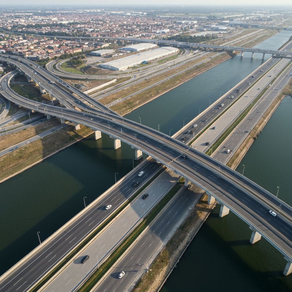
FieldWatch delivers accurate aerial site data fast, so your team can run feasibility studies and submit tenders without the wait.
Manual surveys hold up drafting and push back submission deadlines.
Hidden site or elevation issues discovered late force expensive rework.
Slow data collection means you can't move fast enough on competitive bids.
Practical outcomes, not promises — here's what changes for your team.
Aerial data ready in days means your team can bid while the window's still open.
High-resolution site models reflect what's actually there now, not what was there last visit.
Clean route surveys, as-built plans and terrain profiles imported straight into your existing CAD and GIS tools.
Process
Step 01
Share your project site coordinates or boundary
Step 02
We capture the site from the air
Step 03
You get ready-to-use files for your design team
Talk to a FieldWatch expert about speeding up your next feasibility study or tender, no obligation.
Book within 24 hours and get 15% off your first project.
Not ready for a call?
Get our infrastructure survey tips straight to your inbox.