
The Geospatial Data Platform for Africa
Order high-resolution aerial imagery, analyse your assets with AI, and plug the results into your GIS — all from a single platform.
The Platform
What you can do with FieldWatch
Acquire
Request new aerial acquisitions anywhere in Nigeria, flown by our own network. Every capture is georeferenced, indexed and stays available to you.
Learn moreAnalyse
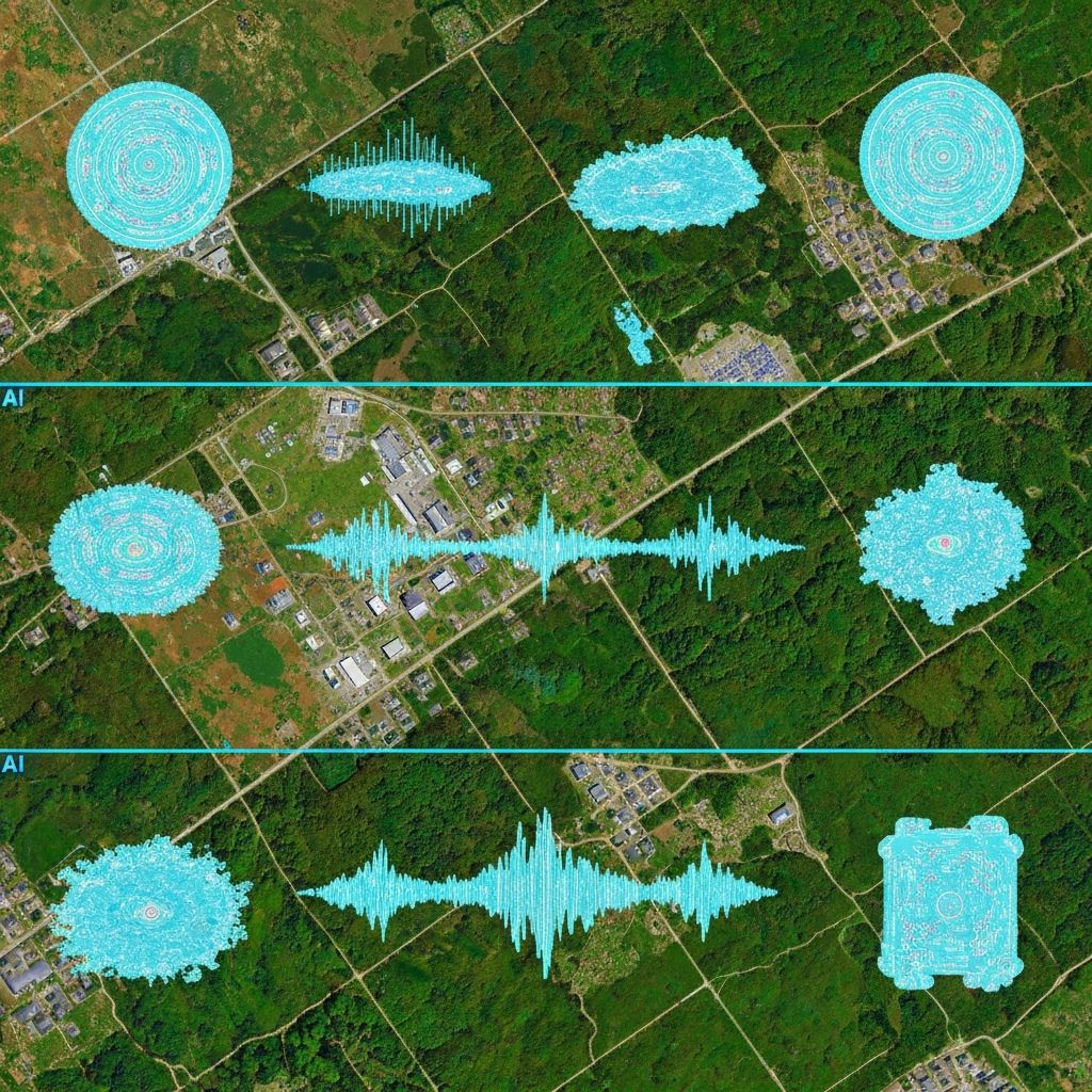
Extract insights using AI-powered change detection, inspection and monitoring.
Learn moreIntegrate
Access imagery and analytics through our platform and APIs for GIS, engineering and enterprise workflows.
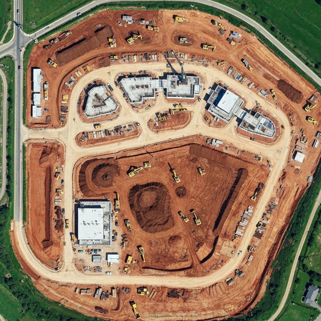
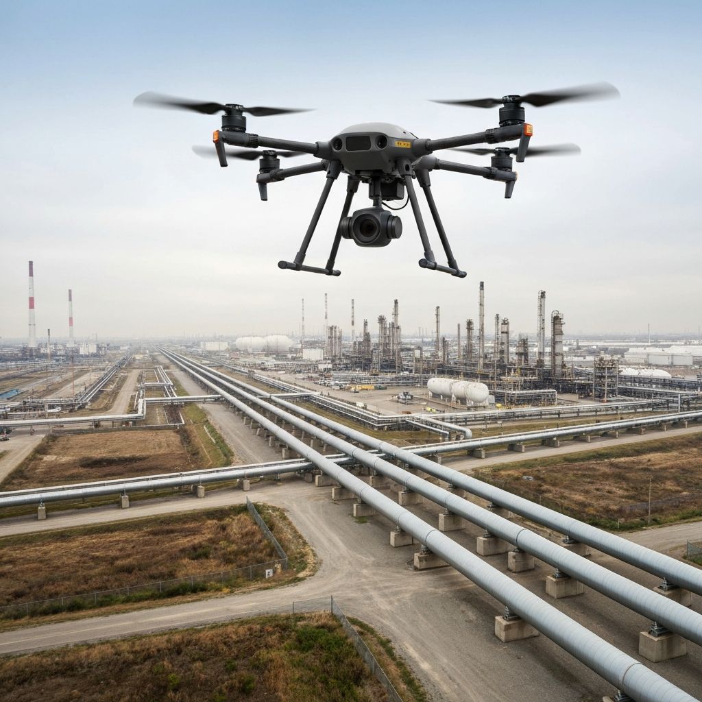
Learn moreTasking Across Nigeria
Autonomous aerial coverage for critical infrastructure.
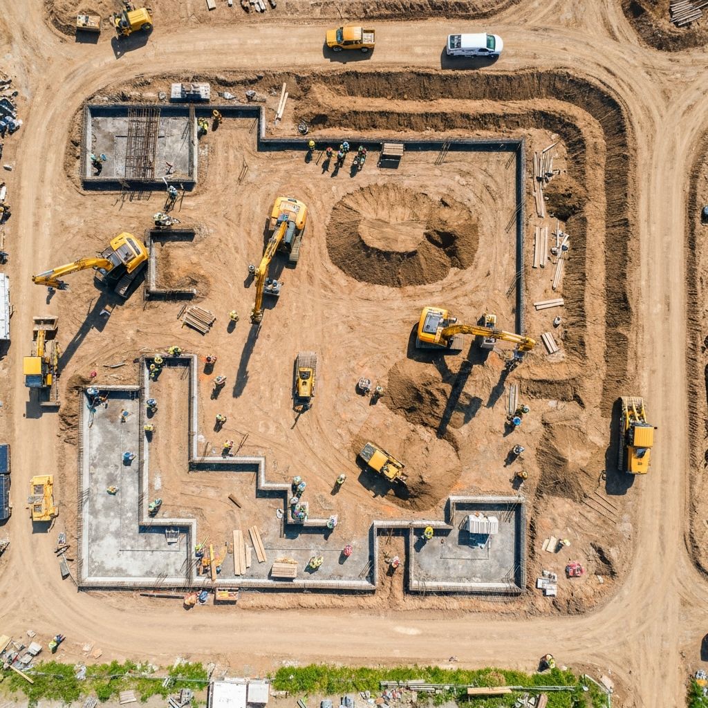
From energy pipelines to construction sites — FieldWatch delivers AI-powered aerial monitoring at scale. Plan, execute, and analyse missions from one platform.
Our Products
One platform for the whole field workflow
Capture it, map it, inspect it, design around it. Each product stands on its own and shares the same data.
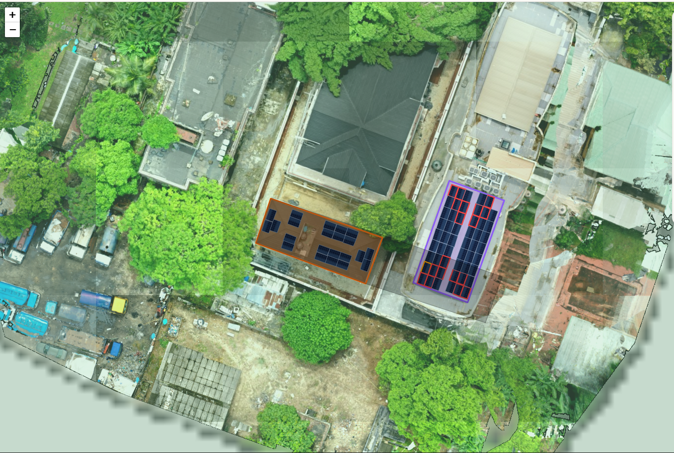
FieldScope
Find your imagery, measure any rooftop
Upload and search georeferenced imagery by area, date and resolution, view it as map overlays, and measure rooftops for solar yield.
ExploreGridMapper
Map and inspect utility networks
Model poles, lines and substations against current orthomosaic imagery, and tie every field inspection back to the asset it belongs to.
Explore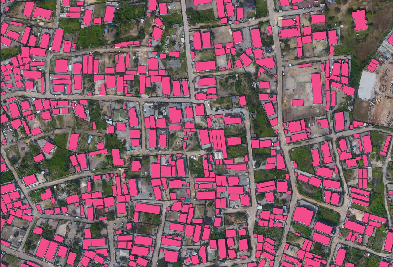
Vectorizer
Scanned maps to GIS data, in hours
Upload a scanned map, engineering drawing or aerial image. Our AI extracts clean, editable vector features twice as fast as tracing by hand.
Explore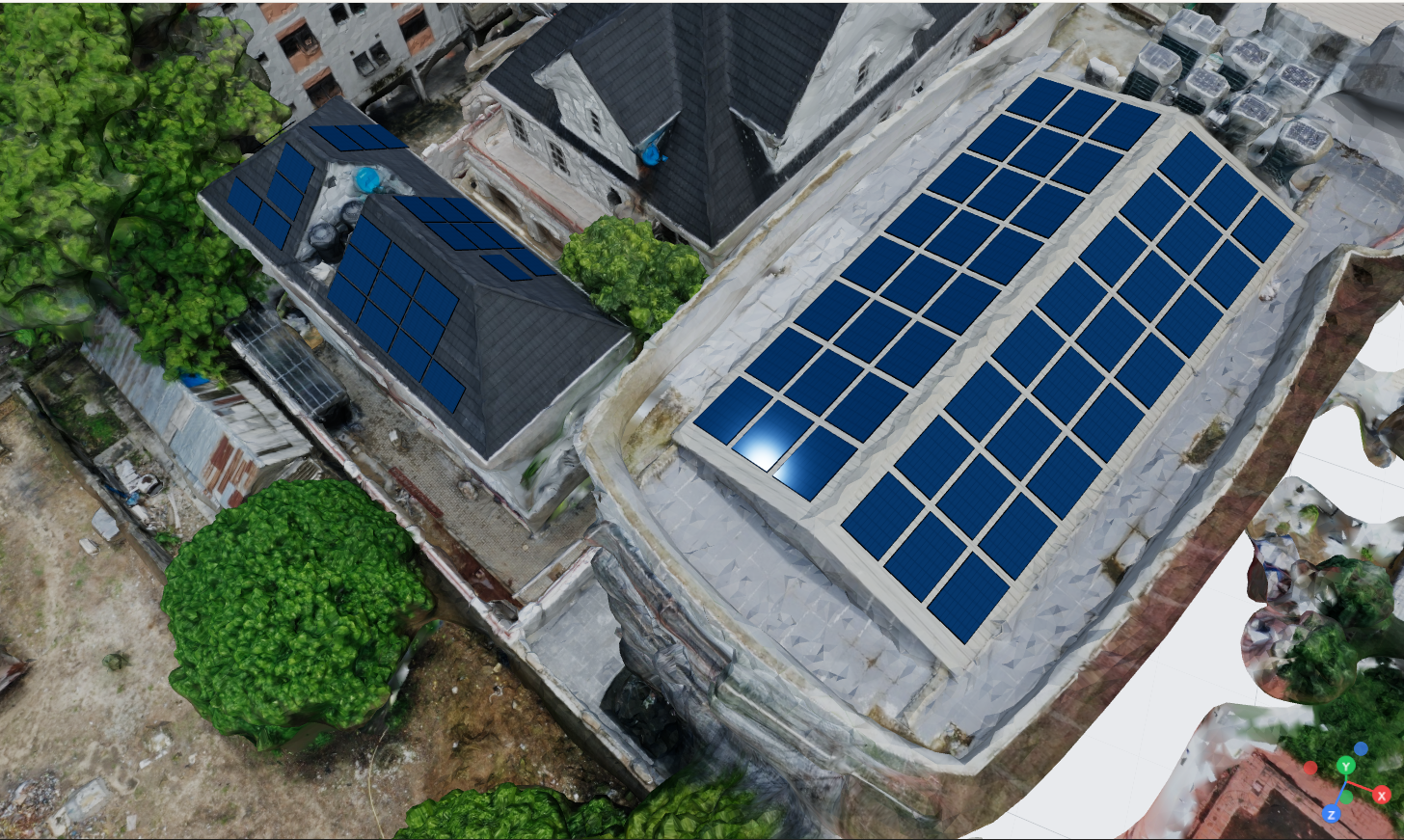
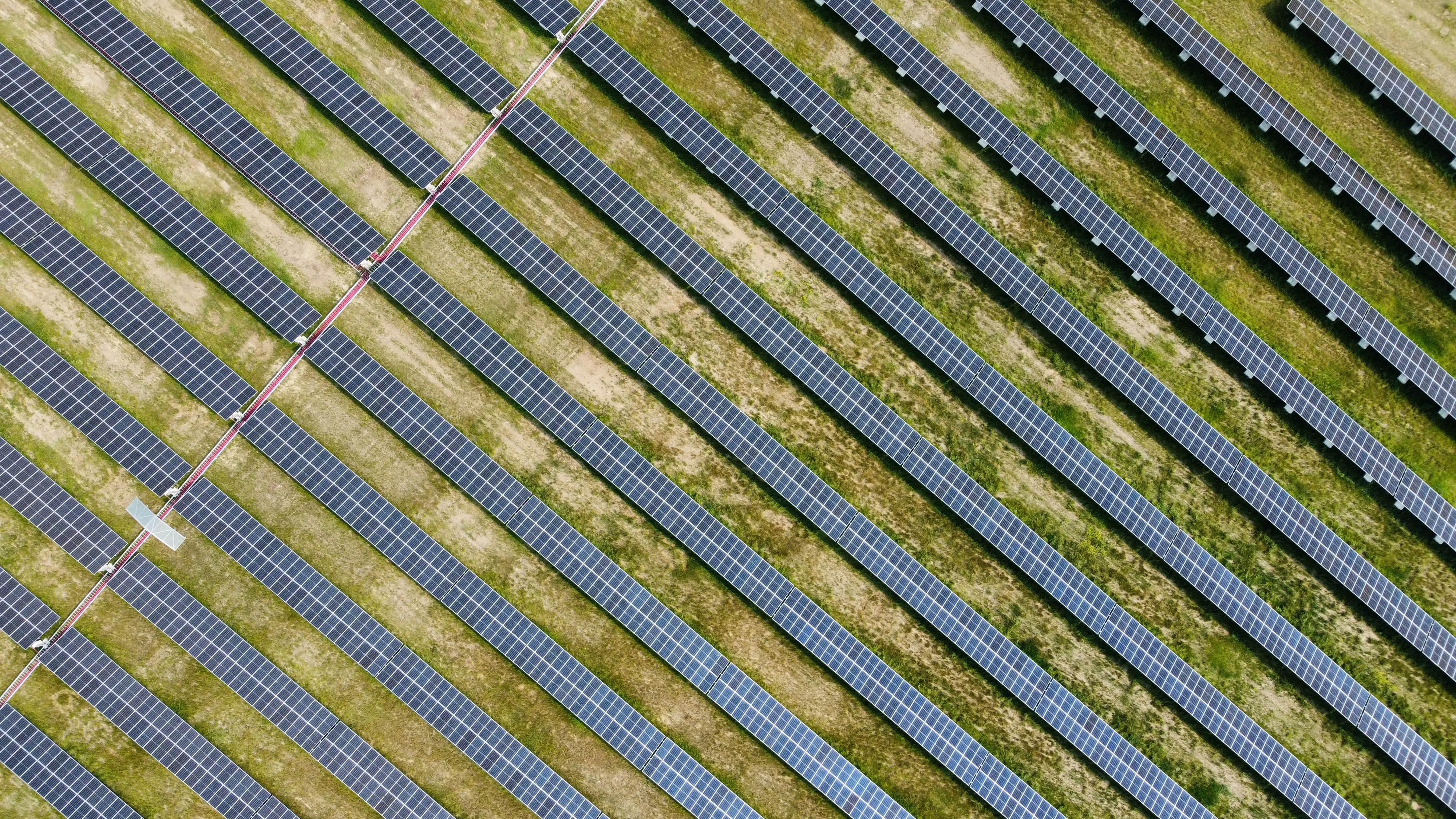
Solar Designer
Lay out panels in 3D
Load a 3D building model, auto-detect roof surfaces, and place panels to get capacity, payback and CO₂ figures before you send the quote.
ExploreAsset Inspection
Spot damage before it costs you
AI scans aerial imagery and video for corrosion, cracks and structural faults across towers, pipelines and plant, with no crew on the asset.
Load Calculator
Size the system correctly
Enter appliances, run hours and backup requirements to get a system size you can defend before anyone commits to hardware.
We Also Offer
Training, talent and hardware to go with the software
GIS & Drone Training
Hands-on bootcamps that leave you with a real portfolio.
Learn moreDrone Jobs
Hire vetted pilots, or find your next flying job.
Learn moreDrone Procurement
Enterprise hardware, bundled software and local support.
Learn moreRequest a Service
Tell us the site. We capture it and process the data.
Learn moreAbout Us
About FieldWatch
Who We Are
FieldWatch is a geospatial intelligence platform that helps organisations access, acquire and analyse aerial data. We combine a nationwide drone acquisition network, high-resolution imagery, satellite data and AI-powered analytics to deliver actionable insights for infrastructure, energy, agriculture and environmental monitoring.
Mission
To make geospatial data accessible for every project across Africa.
Vision
To become Africa's leading platform for geospatial data and aerial intelligence.
Tell us where to fly
Draw your area of interest and we'll come back with coverage, resolution and turnaround.