FieldWatch Academy
Develop practical skills in drone operations, drone mapping, GIS, AI image analysis and geospatial intelligence through hands-on training delivered by industry professionals using real world projects and industry standard tools.
Whether you're a student, recent graduate, working professional or organisation looking to build in-house capacity, FieldWatch Academy equips you with the skills needed to succeed in today's geospatial industry.
Programme at a glance
This programme is designed for anyone looking to build or strengthen practical drone mapping and GIS skills.
Seven practical modules designed around real industry workflows.
Module 01
Learn the fundamentals of drone mapping, GIS, remote sensing and aerial intelligence.
Module 02
Understand drone operations, flight planning, safety procedures and professional data capture.
Module 03
Create orthomosaics, point clouds, digital elevation models (DEMs) and 3D maps.
Module 04
Import, edit, analyse and visualise spatial data using professional GIS workflows.
Module 05
Use AI to automate image analysis, feature extraction and spatial data processing.
Module 06
Apply drone mapping and GIS across construction, solar, agriculture, infrastructure, environmental monitoring and asset inspection.
Module 07
Create professional maps, reports and client-ready deliverables while building a practical portfolio.
These are real outputs from live FieldWatch projects — the same deliverables you'll build during the programme.

Module 03
3D mesh & photogrammetry
Turn drone imagery into textured 3D models, point clouds and elevation data.

Module 04
Orthomosaics & measurement
Trace real rooftops from aerial imagery and drive measurements and calculations off spatial data.
Module 05
Module 05 covers the workflow behind this: raw aerial imagery in, clean vector building footprints out — automatically, instead of tracing by hand.


Two ways to learn. Both cover the full seven-module programme.
Perfect if you need flexibility
Theory online plus hands-on practicals in Lagos.
Full immersion, start to finish
Complete the training in person at our Lagos centre.
Drone Operations
Flight training, safety and regulations.
Data Collection
Mission planning, mapping and site surveys.
QGIS & AI
Process data and create professional reports.
Real Project Datasets
Work on construction, solar and agriculture projects.
Hands-on Practicals
Fly drones and process real data.
Certificate of Completion
Issued by FieldWatch Academy.
For organisations
We deliver customised training at your office, campus or project location. Ideal for organisations building internal drone, GIS and aerial intelligence capabilities.
Request Corporate TrainingLearn from professionals who do this every day.
FieldWatch Academy is backed by professionals delivering drone mapping, GIS and aerial intelligence solutions for construction, solar, agriculture, infrastructure and environmental projects.
You'll work with real datasets, practical workflows and industry-standard tools, not simulated classroom examples.
By the end of the programme, you'll have practical skills you can apply immediately in your job, business or future career.
Drone mapping, GIS and AI are changing how organisations collect, analyse and manage spatial data.

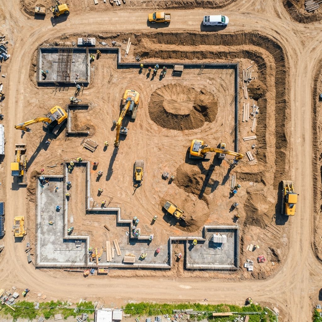
Construction
Companies monitor project progress from anywhere.

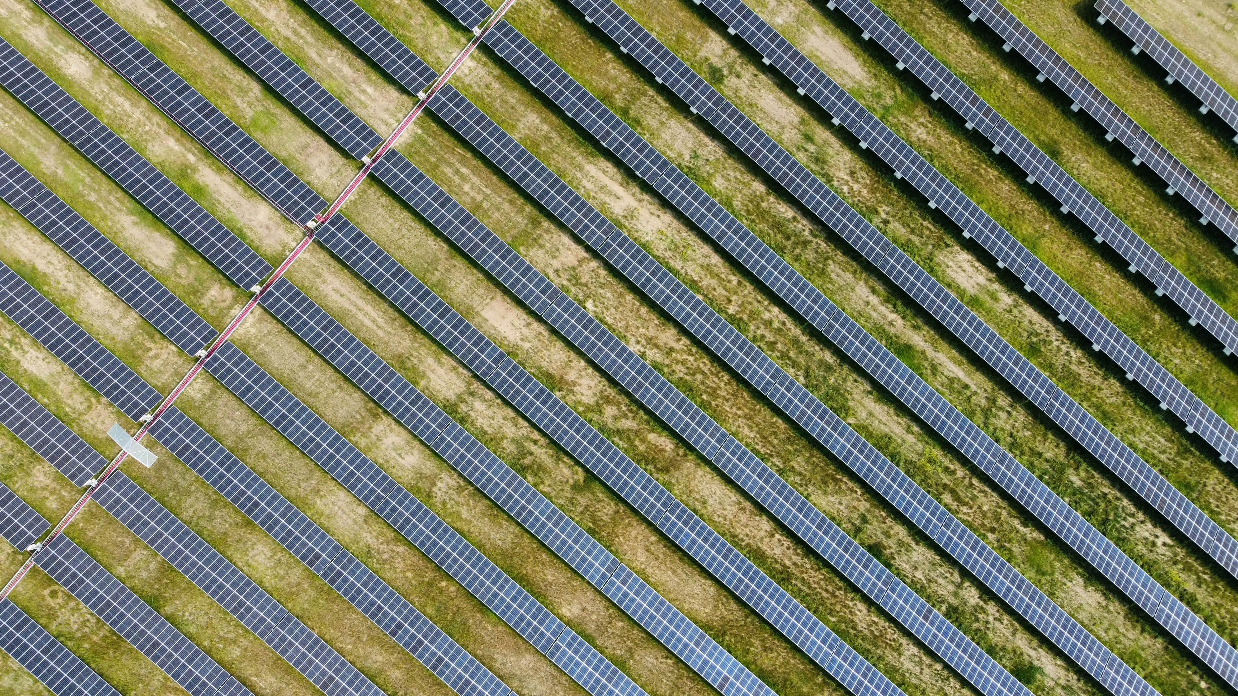
Solar
Companies plan installations and inspect panels more efficiently.

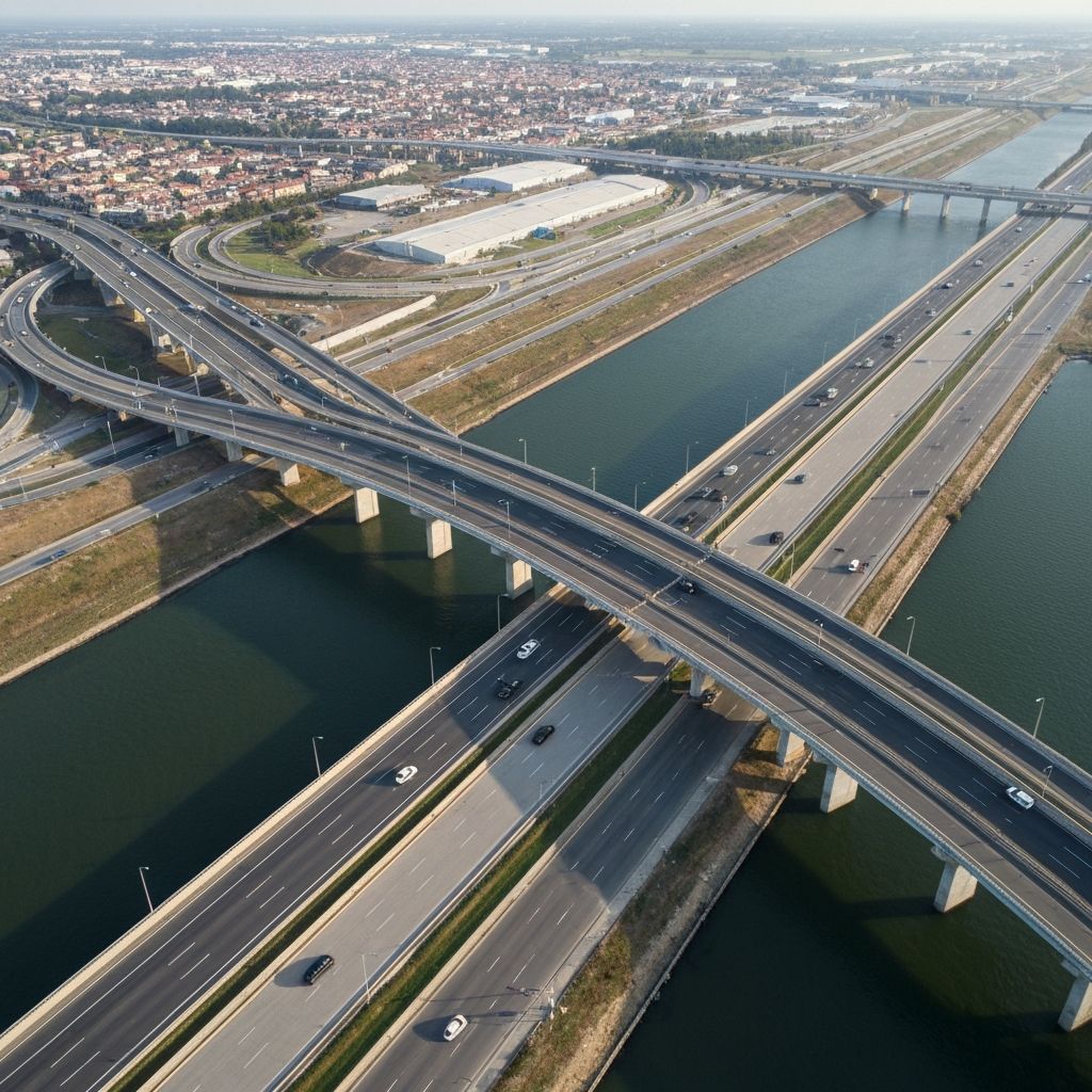
Engineering
Engineers make better decisions with accurate site data.

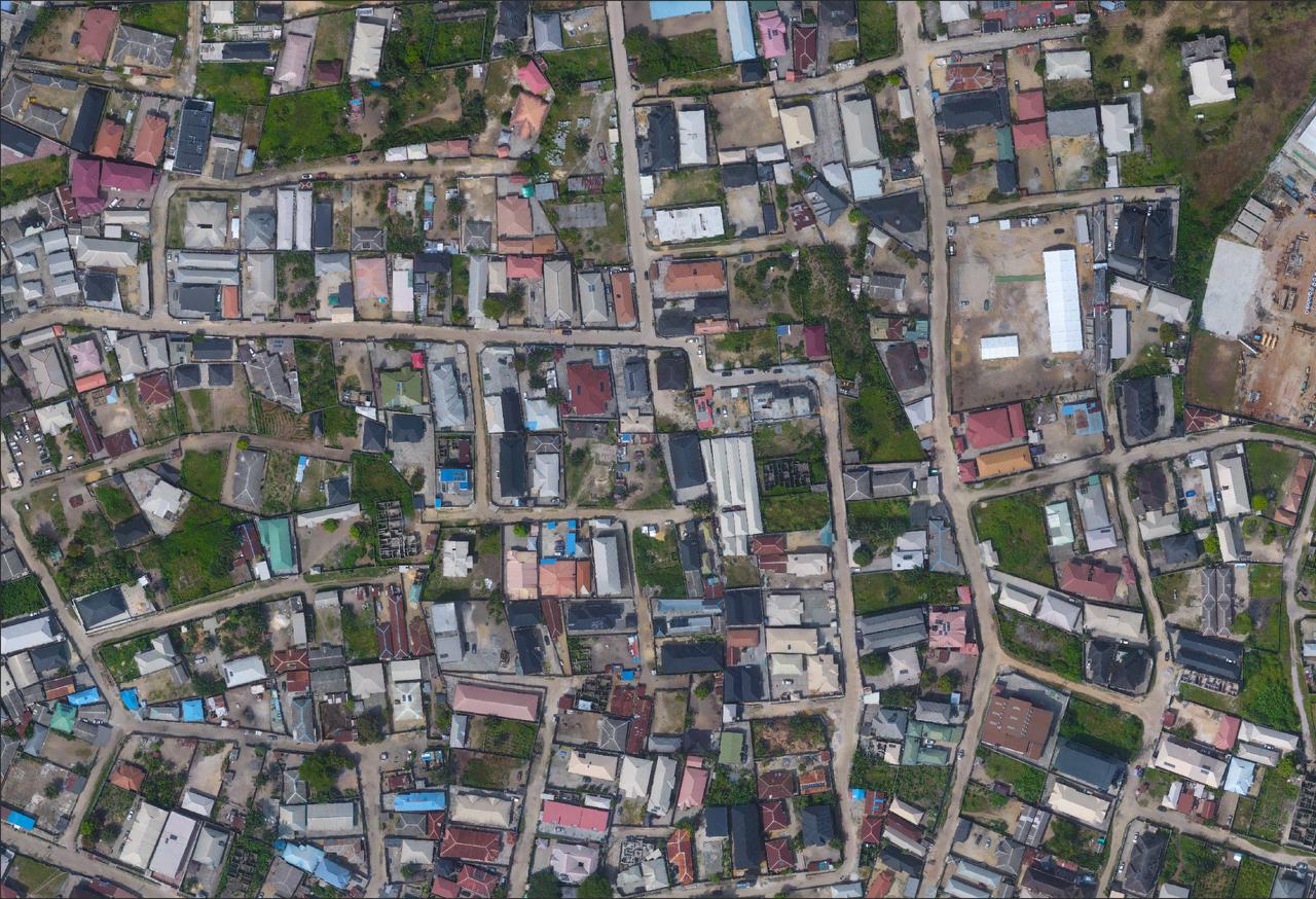
Government
Agencies improve planning and infrastructure management.
As demand for geospatial technology grows, professionals and organisations with these skills will be better positioned to deliver projects faster, reduce costs and make smarter decisions.
FAQ
The things people ask us most before joining a cohort. If yours isn't here, message us on WhatsApp — we usually reply the same day.